Group walk
Stories from the Ghetto
Group walk, Jewish Warsaw
- Length2 hours
- GuideEnglish, German
- AccessWheelchair accessible
Guides
Language
Currency
See open slotsfrom €74 · cancel without payingFind a stop on the map
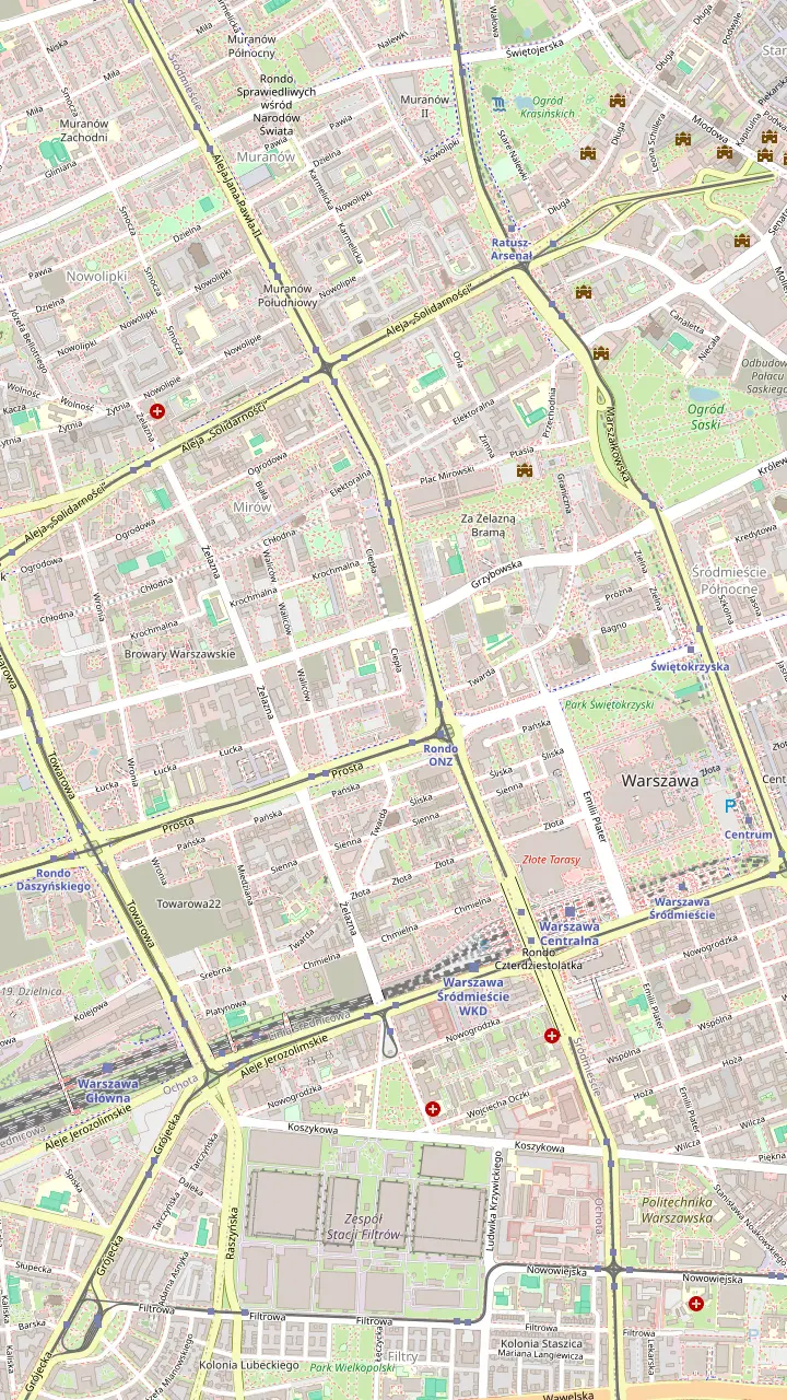
Discover 23 stops
Select a route, then tap a marker or stop to see its note and open Google Maps.
Before the war the square bustled with Jewish shops and stalls; the Singer's Warsaw festival ends here with a concert.
Google MapsThe only pre-war synagogue in Warsaw still in use; open Sunday to Thursday 10 AM to 5 PM, Fridays to 4.00 PM.
Google MapsOne of the few streets of the ghetto that survived the war.
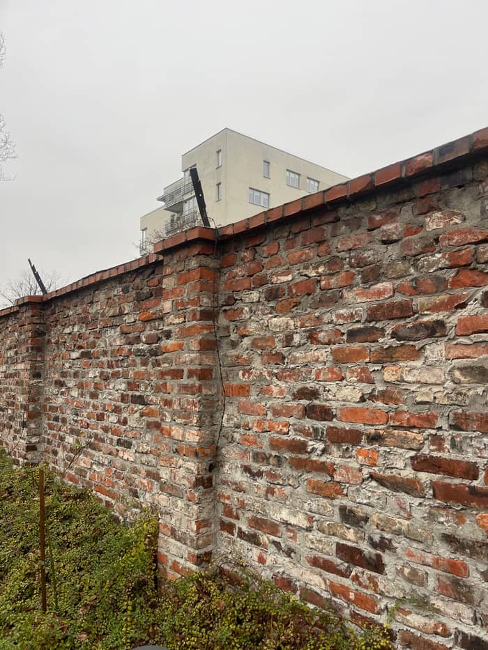
Google MapsWall fragments in the courtyard between Sienna 55 and Złota 62; the Bersohn and Bauman hospital at Sienna 60 stands beside it.
Google MapsThe walls of the pre-war house at 11 Waliców date from the ghetto years; the poet Szlengel lived at number 14.
Google MapsA light installation where a wooden footbridge joined the Large and Small Ghettos from 26 January 1942.
Google MapsIn May 1943 Marek Edelman's group left the sewers through the manhole at 51 Prosta Street.
Google Maps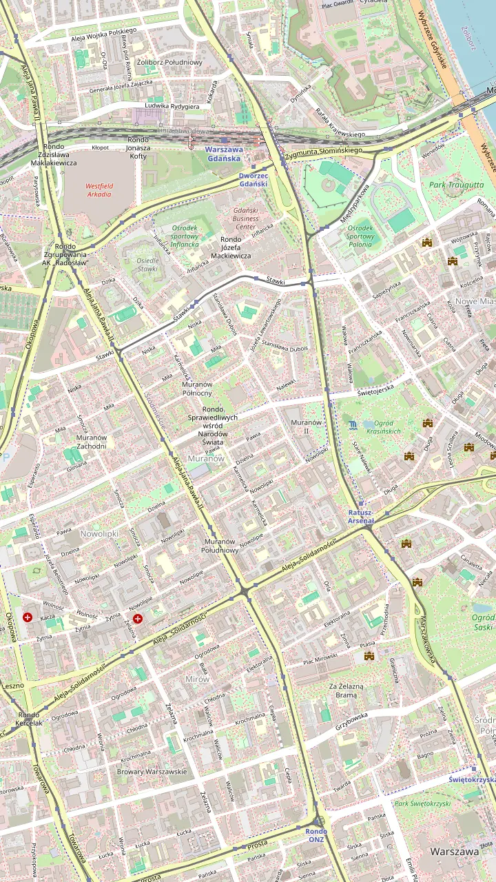
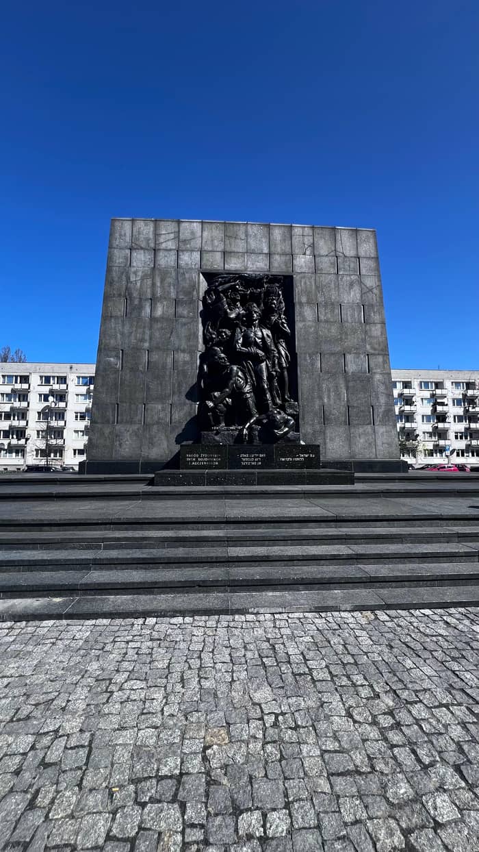
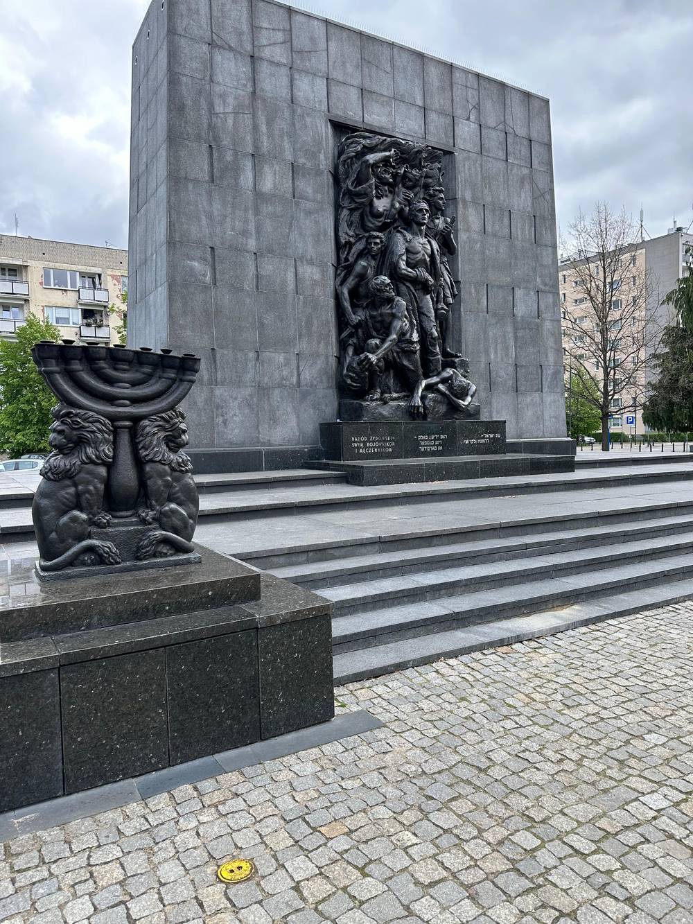
Raised soon after the war; Willy Brandt knelt here in 1970.
Google MapsThe focal point of Muranów since 2013; the tourist office plans 3 hours for a visit.
Google MapsThe ŻOB command bunker, found by the Germans on 8 May 1943; a mound and plaques mark it.
Google MapsTransports to the Treblinka extermination camp left from here from 22 July 1942.
Google MapsAt Dzielna 24/26; closed to visitors from 27 February 2026 until the autumn; check before you go.
Google MapsThe ghetto's secret archive was hidden in a school basement at today's 28 Nowolipki Street.
Google MapsThe Ringelblum Archive exhibition and fire traces on the floor; free on Mondays, closed on Saturdays.
Google MapsA surviving stretch of the old Jewish main street, with its cobbles and tram rails.
Google Maps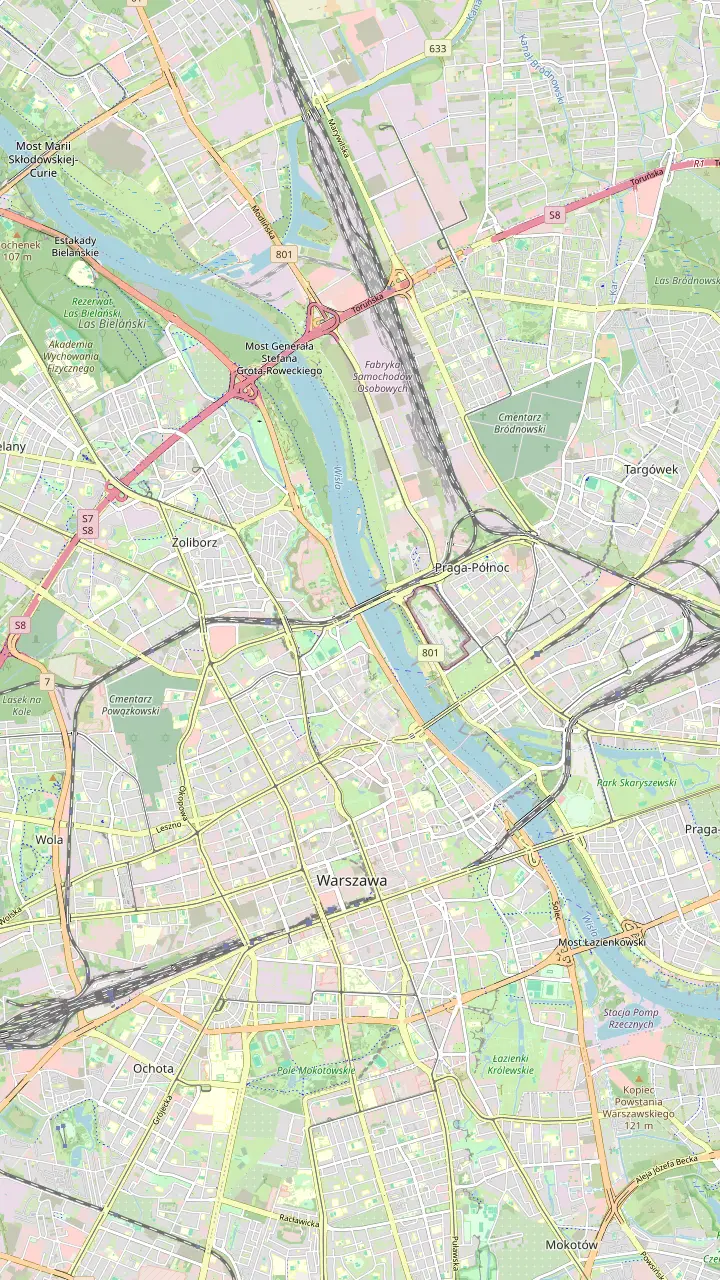
Open Sunday to Thursday 10:00 AM to 5:00 PM and Friday to 3:00 PM; admission PLN 20.
Google MapsFounded in 1780; open on Sundays from 10.00 AM to 4.00 PM with its exhibition.
Google MapsThe zoo director's family hid Jews from the ghetto here; by the tourist office's estimate, as many as 300 people survived thanks to them.
Google Maps2 rooms of a former house of prayer with wall paintings, in the Museum of Warsaw Praga.
Google Maps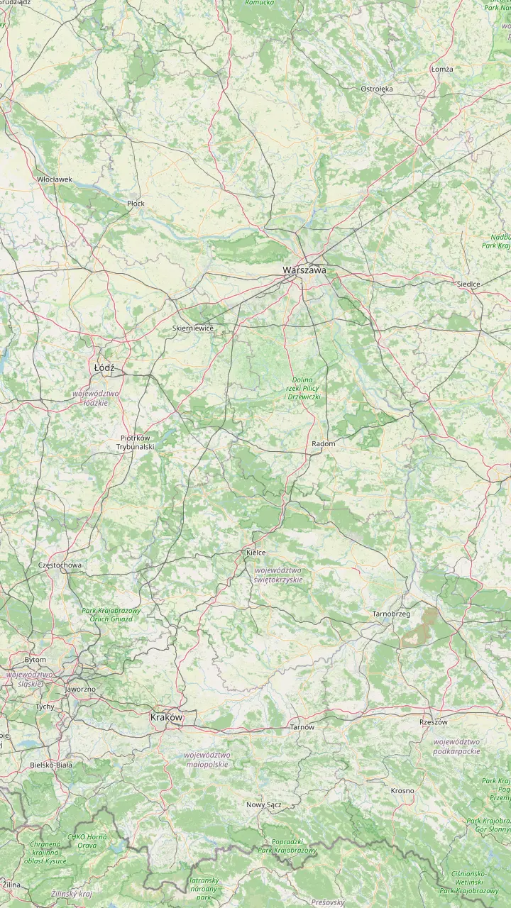
Fast-train tours to Auschwitz meet here; the train to Krakow takes 2.5 hours.
Google MapsWólka Okrąglik 115; the former camp areas are open from 9:00 AM to 6:30 PM, and in winter visitors leave by 4:00 PM.
Google MapsTrain day trips from Warsaw continue from Krakow to Auschwitz by shared transport.
Google MapsFree entry with an online entry card; open every day except 1 January, 25 December and Easter Sunday.
Google MapsMapping data © OpenStreetMap contributors
What was the Warsaw Ghetto, how did it come about, and where can you still stand on its ground? A sober history of the walled district, from Jewish Warsaw before the war to the deportations.
Editorial team, warsawghettotour.click · Updated November 9, 2026 · Allow 8 min
Facts at a glance
What was the Warsaw Ghetto? It was a closed district in the middle of occupied Warsaw, where the German authorities forced the Jews of the city to live behind walls. The governor of the Warsaw District, Ludwig Fischer, signed the order for it on 12 October 1940 and required every Jew in Warsaw to move inside.8 Its borders were sealed on 16 November 1940.1 From then on, a wall and armed posts cut through streets that Jewish and Christian neighbors had shared for generations.
The district measured about 4 square kilometers, and people could pass in or out only through 22 guarded gates, and only with a permit.3 The Jewish Community of Warsaw counts about 450,000 Jews inside in April 1941.4 The Warsaw Tourism Office gives a lower peak figure of 400,000 people.9 The Jewish Community and the Warsaw Ghetto Museum both describe it as the largest ghetto that Nazi Germany created in occupied Europe.2,10
Keep that scale in mind before any Warsaw Jewish history tour. Most of the streets you will walk in Muranów and on the western edge of the city center lay inside the wall or along it, yet almost none of the original houses stand. After the war, new housing went up on the ruins of the former Jewish quarter.11 The tourist office points out that the knolls and steps of today's Muranów are the ruins themselves.12 The ground under the lawns is part of the story.
On the ground
| Place | Address | What it recalls |
|---|---|---|
| Wall fragment | Sienna 55 and Złota 62 | The ghetto wall |
| Waliców wall | Waliców 11 | A pre-war house wall |
| Footbridge of Remembrance | Chłodna at Żelazna | The bridge between ghettos |
| Children's hospital | Sienna 60 | Hunger and disease |
| Archive hiding place | Nowolipki 28-30 | The Ringelblum Archive |
| Umschlagplatz | Stawki Street | The deportations |
| Stare Nalewki | By Krasiński Garden | The pre-war Jewish street |
Addresses from the Warsaw Tourism Office and the Warsaw Ghetto Museum.29,13,30,31,32,26
Jewish life in Warsaw is far older than the ghetto. The city's own records mention Jewish residents as early as 1421.17 For a long time a royal privilege kept Jews from living or owning property inside the city, and many settled across the river in Praga instead.18 In 1799 they were allowed to found a community of their own, and organized Jewish life in Warsaw grew from there.19 By the nineteenth century Jewish families shaped whole districts of the capital.
The community grew fast. In 1864 Warsaw had 72,000 Jewish residents, 33% of everyone living in the city.20 Between the wars, through the 1920s and 1930s, the city grew into a leading center of Jewish cultural life, with its own press, theaters, schools and political movements.21 The tourist office notes that before the war only New York had a larger Jewish population.22 When the war broke out, the Jewish population stood at nearly 360,000, and refugees from areas annexed by the Reich swelled it further.23
The heart of that world lay north and west of today's center. Nalewki was the main street of the Jewish district and one of the busiest shopping streets in Warsaw.24 Grzybowski Square was crowded with shops and stalls run by Jewish traders.25 A short stretch of Nalewki survives beside the Krasiński Garden, with its cobbles and old tram rails still in place.26 Stand there for a moment: it is a rare spot where the pre-war street surface is still under your feet.
In numbers
Persecution began long before the wall. Adam Czerniaków was appointed head of the Jewish community on 23 September 1939, and in October the Germans also made him chairman of the Judenrat they had imposed.40 Step by step the occupiers forced Jews to wear Star of David armbands, shut the synagogues, banned shared prayer in private homes and closed parts of the city to them.41 Each rule narrowed the space in which a family could live, work and pray.
The order of October 1940 turned those rules into a line on the map.8 The Warsaw Ghetto Museum lists the boundary streets, among them Grzybowski Square, Elektoralna, Bankowy Square, Tłomackie, Nalewki, Stawki, Okopowa, Towarowa and Złota.42 Read on a modern street plan, those names trace a ring around Muranów and the western part of the center. Today a line set into the pavement near Złota Street carries the words ghetto wall and the years 1940 to 1943.43
The ghetto was never a single block. Chłodna Street was kept outside it as a road for non-Jews, splitting the Small Ghetto from the Large Ghetto. On 26 January 1942 the Germans opened a wooden footbridge over Chłodna at Żelazna Street to link the two parts.13 A light installation, the Footbridge of Remembrance, now marks the place and is most striking after dark.36 Crossing under it today takes seconds; for those who climbed it, the street below was a world they could not enter.
Plan your visit
Choose by time, budget and how you like to learn.
If I have a single morning
A guided ghetto walk
A group history walk of 2 hours links the main traces with a guide.
If I want documents, not just places
The Jewish Historical Institute
Its exhibition shows the Ringelblum Archive and an original milk can.33
If I want the long story before the war
The POLIN Museum
The tourist office plans 3 hours for POLIN, whose route ends with the ghetto and after.34,35
If I prefer to walk alone
Wall, footbridge, Umschlagplatz
Wall fragments, the footbridge installation and the memorial stand in the open street.29,36,32
If I travel with teenagers
Start with the children's hospital
The hospital and Korczak's walk to the Umschlagplatz give the history a human scale.37,38
Guided options
Group walk
Group walk, Jewish Warsaw
Private group
With hotel pickup
Group walk
Group walk from Krasiński Square
Inside the wall, crowding, hunger and epidemics did their work. The Jewish Community of Warsaw writes that thousands died of hunger and disease, and many more were lost in the deportation actions.72 Smuggled food kept people alive, and some of the routes ran through the Jewish cemetery on Okopowa Street, which lay on the boundary; prepared burial pits there also hid people in danger.73 Every walk through the area passes places where those choices were made.
The Bersohn and Bauman Children's Hospital shows what the ghetto meant for the youngest. Its building at 60 Sienna Street dates from 1876 to 1878, and Janusz Korczak worked there as a doctor from 1905 to 1912.30,74 Under the occupation thousands of sick children were brought in, and they died of tuberculosis, starvation sickness and typhus.37 In 1942 its doctors took part in research on starvation sickness, recording what hunger did to the body.75
The hospital closed on 12 August 1942, when the Germans liquidated the Small Ghetto.76 The building survived as a rare remnant of the ghetto and is being adapted to house the Warsaw Ghetto Museum.77 For now you see it from the street, a quiet brick façade a short walk from a surviving fragment of the wall. Pause there before you move on; few places in Warsaw give the daily life of the ghetto such a clear address.
Price a guided walk
Choose a history walk and how many will join.
Look at 4 options
Choose a history walk and how many will join.
≈
View≈
View≈
View≈
ViewConverted at the ECB reference rate, from-prices as listed by GetYourGuide. The precise amount is shown when you book.
Dates
12 October 1940
Fischer orders a ghetto and every Jew in the city to move in.8
16 November 1940
The borders are sealed; entry only through guarded gates.1,3
26 January 1942
A wooden bridge over Chłodna joins the Large and Small Ghettos.13
22 July 1942
Deportations to Treblinka start from the Umschlagplatz.14
19 April 1943
The remaining fighters resist the final liquidation.15
16 May 1943
The Germans blow up the Great Synagogue on Tłomackie Street.16
Some of those inside decided that their story had to outlive them. The historian Emanuel Ringelblum led a secret group called Oneg Shabbat, which met in the library building on Tłomackie Street and gathered evidence of Jewish life and death under the occupation.78 That building lay inside the ghetto from November 1940 until March 1942.79 Its members collected diaries, reports, posters, drawings and testimony with the care of historians.
The papers went into metal containers and milk cans, hidden in the cellars of the house that then stood at 68 Nowolipki Street.80 While the deportations went on outside, 19-year-old Dawid Graber wrote his own testament for the archive.81 His note is dated 3 August 1942 at 4 PM.82 The hidden archive was dug up after the war, part in 1946 and part in 1950.83 A monument now marks the hiding place, between Nowolipki 28 and 30.31
Ringelblum himself hid on the other side of the wall with his family, in a bunker under a greenhouse that sheltered about 40 people.84 The Germans found the hideout in March 1944.85 Ringelblum died on 10 March 1944, killed in the ruins of the ghetto.86,87 UNESCO added his archive to its Memory of the World list in 1999, and you can see one of the milk cans at the Jewish Historical Institute.88,33
Video
DW Documentary on YouTube · Video data is requested only when you tap play.
What we’ve been unable to shout out to the world, we buried in the ground.
Before you go
On 22 July 1942 the Germans began the liquidation operation that the records call the Great Action.89 From that day, transports of Jews left the Umschlagplatz loading square on Stawki Street for the Treblinka extermination camp.14 The first transport, on 23 July, was made up of 60 train cars filled with women, men, old people and children.90 The Treblinka Museum records that the first deportees to reach the camp came from the Warsaw Ghetto that day.91
Adam Czerniaków refused to sign the German deportation notice, and on the following day he took his own life.92 On 5 August Janusz Korczak, Stefania Wilczyńska and the staff of the orphanage walked with the children from Sienna 16 to the Umschlagplatz.38 Korczak was murdered at Treblinka together with the children he cared for.93 The story is told on almost every ghetto walk, and it is worth hearing at the places where it happened.
Between 22 July and 21 September 1942, more than 275,000 Jews from the ghetto were deported and murdered.5 About 35,000 people were left in the city.27 Today the Umschlagplatz memorial stands where the trains were loaded; its shape recalls both the ghetto wall and a freight wagon.32 Plan to end a walk here. Read the names cut into the stone, and give yourself a few quiet minutes before you leave.
Those who remained rose in arms when German forces entered the ghetto on 19 April 1943, and the fighting went on until 16 May 1943.15 On that last day the Great Synagogue on Tłomackie Street was dynamited by the Germans to mark the end of the ghetto.16 The tourist office records that the district was then razed to the ground.94 The story of that rising, its fighters and its memorials is a subject in its own right, and the bunker site on Miła Street is the place to start it.
Few of Warsaw's Jews lived to see liberation. By 1946 about 18,000 Jews lived in the city, and by the early 1970s it had fallen to around 2,000.28,95 Today the community counts over 700 adult members.96 It still prays in the Nożyk Synagogue, the only synagogue in Warsaw to survive the war.97 Seeing that building in use, with prayer books open and lights on, is part of understanding both what was lost and what continues.
Since 2013 the POLIN Museum, devoted to the long history of Polish Jews, has been the focal point of Muranów, built on ground that lay inside the ghetto.53,98 Iron slabs set into the pavement still mark the line of the old boundary across the center.7 A historical walking tour of Jewish Warsaw links these scattered traces into one story, and a guide can take the questions this history raises. Walk slowly, read the plaques, and let the empty spaces speak as much as the monuments.
FAQ
About 450,000 Jews lived there in April 1941, according to the Jewish Community of Warsaw.4
It covered about 4 square kilometers and had 22 guarded gates.3
From 22 July 1942, transports left the Umschlagplatz for the Treblinka extermination camp.14
Sources
Questions about the Ghetto walk? Ask a real person here.